|
|
|
|

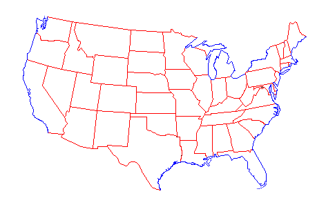
1930 Map of the United States
The map of the United States shown below displays the boundaries for each of the states that existed in year 1930 according to the United States Geological Survey Bulletin 1212.
 RED = Man-made Boundary BLACK = Disputed Boundary
1790 •
1800 •
1810 •
1820 •
1830 •
1840 •
1850 •
1860
1870 •
1880 •
1890 •
1900 •
1910 •
1920 •
1930

The above maps courtesy of Ed Stephan of Bellingham, Washington, and were created in 1996 using information
he obtained from several composite maps in the United States Geological Survey Bulletin 1212
by Franklin K. Van Zandt, published by the U.S. Government Printing Office (1966).
For additional information or to view other images and animation by Ed, click here.
|
|


